Before you go
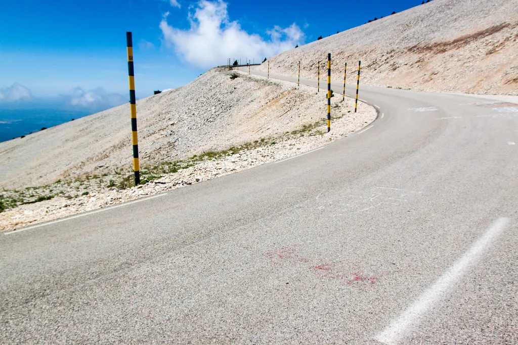
Hundreds of cyclists climb it on a summer morning: go early or late, pass wide, and expect wind at the top. The summit road shuts in winter, usually mid-November to May.
Which way round
Up from Bédoin through the forest to Chalet Reynard and over the top, down to Malaucène.
When it’s open
Usually open May to Nov. Opening depends on the snow, so check the status before you go.
The route
- Bédoin
- Chalet Reynard
- summit
- Malaucène
Driven it recently? Roadworks, a new surface, a closure we should know about? Tell us and we’ll update this page.