Before you go
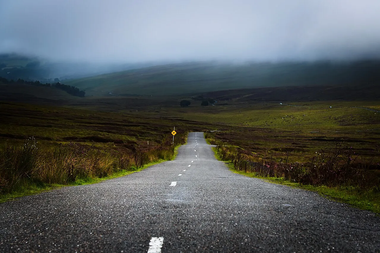
Sheep wander onto the road and the bog verges are soft: don't pull right off. It can be closed by snow in winter.
Which way round
North to south from Glencree to Laragh, finishing at Glendalough.
When it’s open
Normally open all year, though snow can close it for a day or two.
The route
- Glencree
- Sally Gap
- Laragh
Driven it recently? Roadworks, a new surface, a closure we should know about? Tell us and we’ll update this page.