Route library · Provence, France
Provence: the Route Napoléon and the Verdon
Three relaxed days from Vence: the Route Napoléon, the Gorges du Verdon, the Luberon and back to Cap d’Antibes.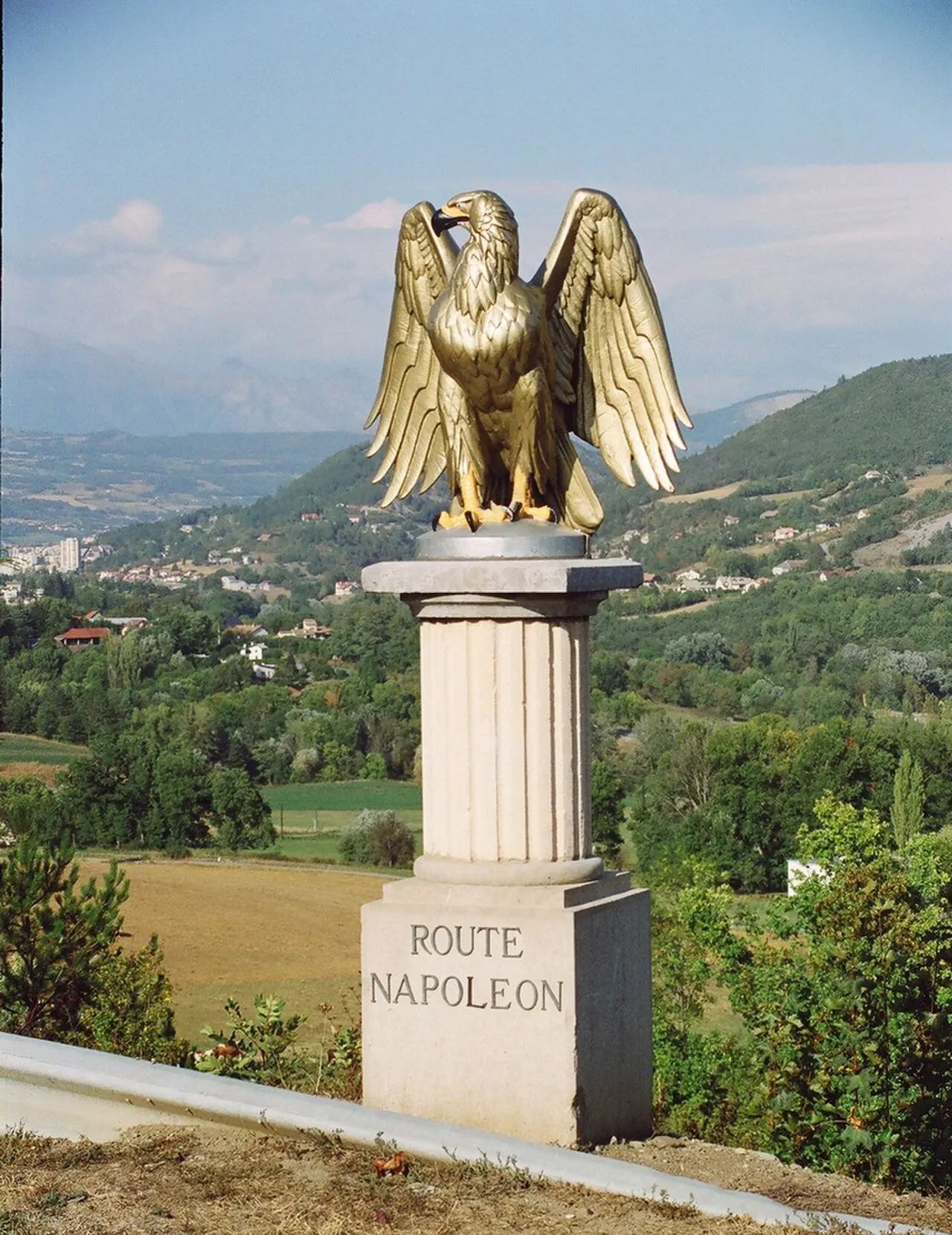
3 days · 2 nights · starts in Vence, finishes in Antibes
Best months: May to Nov, when every pass on it is normally open. For: cars and motorcycles.
The planner works out real road distances and daily driving times, adds hotels along the way and lets you change any stop.Vence to Moustiers-Sainte-Marie
The Route Napoléon from Grasse to Castellane, then the Verdon’s north rim to Moustiers.
The drive: about 134 km (83 miles) · around 3 h 10 min at the wheel, before stops, photos and lunch.
The way: Vence → Grasse → Castellane → Point Sublime → Moustiers-Sainte-Marie
Passes and roads: Route Napoléon · Gorges du Verdon
We haven’t checked a hotel here yet. Browse hotels in Moustiers-Sainte-Marie and check the parking before you book.
Moustiers-Sainte-Marie to Gargas
Across the lavender of the Valensole plateau to the Luberon.
The drive: about 93 km (58 miles) · around 2 h 15 min at the wheel, before stops, photos and lunch.
The way: Moustiers-Sainte-Marie → Gargas
- Coquillade Provence · Gargas · car parking · Check rooms on Booking.com Affiliate link: we may earn a commission if you book, at no extra cost to you.
Gargas to Antibes
Through Aix-en-Provence and along the coast to Cap d’Antibes.
The drive: about 222 km (138 miles) · around 3 h 5 min at the wheel, before stops, photos and lunch.
The way: Gargas → Antibes
Before you go
Check each pass is open on the day, and read our car advice or riding to Europe advice for the rules and kit where you’re going. More routes
Driven this route?
Tell us how it went: the road that made the trip, anything closed or not worth it, a day that was too long. We read every review and change the route when drivers and riders tell us something’s wrong.