Route library · Pyrenees, France · Spain · Andorra
Pyrenees: the Tour de France cols
Four days from Pau over the Aubisque, Soulor, Tourmalet, Aspin, Peyresourde and Bonaigua, finishing in Andorra.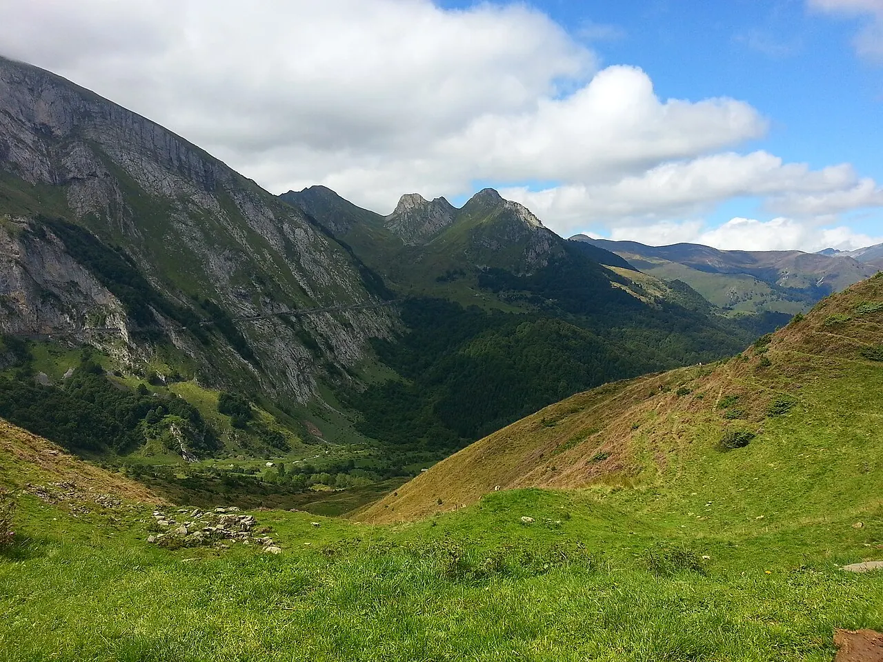
4 days · 3 nights · starts in Pau, finishes in Andorra la Vella
Best months: Jun to Oct, when every pass on it is normally open. For: cars and motorcycles.
The planner works out real road distances and daily driving times, adds hotels along the way and lets you change any stop.Pau to Argelès-Gazost
Up the Ossau valley to Laruns, over the Aubisque and the Soulor to Argelès-Gazost.
The drive: about 89 km (55 miles) · around 2 h 10 min at the wheel, before stops, photos and lunch.
The way: Pau → Laruns → Aubisque summit → Soulor summit → Argelès-Gazost
Passes and roads: Col d’Aubisque & Col du Soulor
We haven’t checked a hotel here yet. Browse hotels in Argelès-Gazost and check the parking before you book.
Argelès-Gazost to Arreau
The Tourmalet from Barèges, down to Sainte-Marie-de-Campan and over the Aspin to Arreau.
The drive: about 96 km (60 miles) · around 2 h 20 min at the wheel, before stops, photos and lunch.
The way: Argelès-Gazost → Barèges → Tourmalet summit → Sainte-Marie-de-Campan → Aspin summit → Arreau
Passes and roads: Col du Tourmalet · Col d’Aspin
We haven’t checked a hotel here yet. Browse hotels in Arreau and check the parking before you book.
Arreau to Esterri d’Àneu
The Peyresourde to Luchon, into Spain through the Val d’Aran and over the Bonaigua.
The drive: about 112 km (70 miles) · around 2 h 15 min at the wheel, before stops, photos and lunch.
The way: Arreau → Peyresourde summit → Bagnères-de-Luchon → Vielha → Bonaigua summit → Esterri d’Àneu
Passes and roads: Col de Peyresourde · Port de la Bonaigua
We haven’t checked a hotel here yet. Browse hotels in Esterri d’Àneu and check the parking before you book.
Esterri d’Àneu to Andorra la Vella
Along the N-260 through Sort to La Seu d’Urgell and up into Andorra.
The drive: about 106 km (66 miles) · around 2 h 25 min at the wheel, before stops, photos and lunch.
The way: Esterri d’Àneu → Sort → La Seu d’Urgell → Andorra la Vella
Passes and roads: N-260 Pyrenees
Before you go
Check each pass is open on the day, and read our car advice or riding to Europe advice for the rules and kit where you’re going. More routes
Driven this route?
Tell us how it went: the road that made the trip, anything closed or not worth it, a day that was too long. We read every review and change the route when drivers and riders tell us something’s wrong.