Route library · Central Alps, Switzerland · Italy
Swiss Alps: seven passes to Lake Como
Andermatt’s famous loops (Furka, Grimsel, Susten, the cobbled Tremola and the Nufenen), then the Albula and the Bernina down to Lake Como.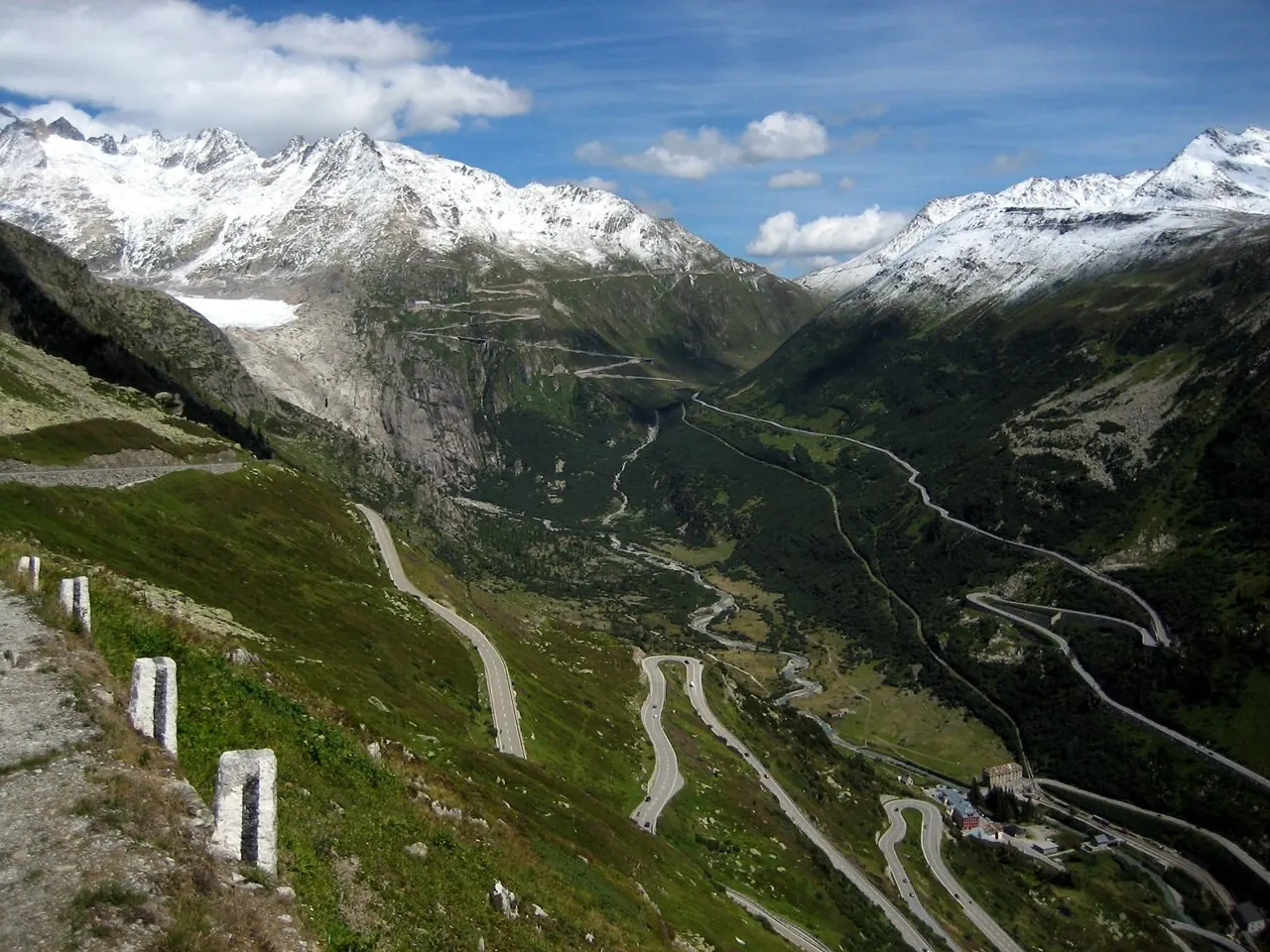
4 days · 3 nights · starts in Andermatt, finishes in Cernobbio
Best months: Jun to Oct, when every pass on it is normally open. For: cars and motorcycles.
The planner works out real road distances and daily driving times, adds hotels along the way and lets you change any stop.A Stradale Plus route, free to use in full while Plus is in preview. Plus members will get every route kept up to date for closures and hotel changes.
Andermatt to Andermatt
The classic three-pass loop: Furka, Grimsel and Susten.
The drive: about 120 km (75 miles) · around 2 h 45 min at the wheel, before stops, photos and lunch.
The way: Andermatt → Realp → Furka summit → Gletsch → Grimsel summit → Innertkirchen → Susten summit → Wassen → Andermatt
Passes and roads: Furka Pass · Grimsel Pass · Susten Pass
- The Chedi Andermatt · Andermatt · car parking · Check rooms on Booking.com Affiliate link: we may earn a commission if you book, at no extra cost to you.
- Radisson Blu Hotel Reussen, Andermatt · Andermatt · cars and motorcycles · Check rooms on Booking.com Affiliate link: we may earn a commission if you book, at no extra cost to you.
Andermatt to Andermatt
Down the cobbled Tremola to Airolo, over the Nufenen and back over the Furka.
The drive: about 178 km (111 miles) · around 4 h 30 min at the wheel, before stops, photos and lunch.
The way: Andermatt → Hospental → Gotthard summit → Airolo → Nufenen summit → Ulrichen → Gletsch → Furka summit → Realp → Andermatt
Passes and roads: Tremola San Gottardo · Nufenen Pass · Furka Pass
- The Chedi Andermatt · Andermatt · car parking · Check rooms on Booking.com Affiliate link: we may earn a commission if you book, at no extra cost to you.
- Radisson Blu Hotel Reussen, Andermatt · Andermatt · cars and motorcycles · Check rooms on Booking.com Affiliate link: we may earn a commission if you book, at no extra cost to you.
Day 2 in Google Maps · part 1Day 2 in Google Maps · part 2Day 2 in Google Maps · part 3
Andermatt to St. Moritz
Over the Oberalp to the Rhine valley, then the Albula into the Engadine.
The drive: about 165 km (102 miles) · around 3 h 40 min at the wheel, before stops, photos and lunch.
The way: Andermatt → Bergün → Albula summit → La Punt → St. Moritz
Passes and roads: Albula Pass
- Kulm Hotel St. Moritz · St. Moritz · car parking · Check rooms on Booking.com Affiliate link: we may earn a commission if you book, at no extra cost to you.
- Kempinski Grand Hotel des Bains · St. Moritz · car parking · Check rooms on Booking.com Affiliate link: we may earn a commission if you book, at no extra cost to you.
- Grand Hotel Kronenhof · Pontresina · car parking · Check rooms on Booking.com Affiliate link: we may earn a commission if you book, at no extra cost to you.
St. Moritz to Cernobbio
Over the Bernina to Tirano, then down the Valtellina to Lake Como.
The drive: about 183 km (114 miles) · around 4 h 10 min at the wheel, before stops, photos and lunch.
The way: St. Moritz → Pontresina → Ospizio Bernina → Tirano → Cernobbio
Passes and roads: Bernina Pass
Before you go
Check each pass is open on the day, and read our car advice or riding to Europe advice for the rules and kit where you’re going. More routes
Driven this route?
Tell us how it went: the road that made the trip, anything closed or not worth it, a day that was too long. We read every review and change the route when drivers and riders tell us something’s wrong.